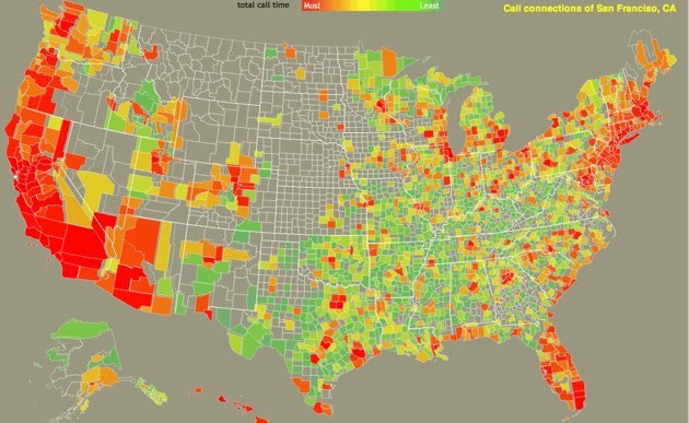
We live in a world separated by virtual borders, but a new project aims to show us just how permeable some of them can be. A joint endeavor between research labs at MIT and AT&T visualizes the U.S. through anonymized calling data, painting an organic picture of how people connect to one another across the country. The undertaking, called The Connected States of America, seeks to depict an alternate portrait of the nation, one defined by social interaction rather than state boundaries.
Watch the video above for a glimpse into the mapping project, or play around with a full interactive U.S. map on the Connected States website. In the interactive map, you can select individual counties to see which geographic hotspots most outgoing calls and text messages are reaching, and which locales appear to have a close mobile rapport.

Visualize the U.S. in a new light with The Connected States of America project
MIT via Geekosystem
More from Tecca:
No comments:
Post a Comment